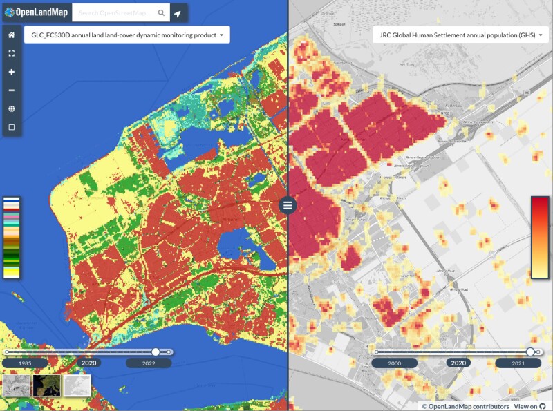
OpenLandMap is a collaborative initiative providing open-access global land data services, offering high-resolution spatial layers (ranging from 1 km to 30 m or finer). Hosted by OpenGeoHub, GILAB.rs, and partners, it aims to become an OpenStreetMap-style platform for land data.
Users can access spatial layers through interactive visualizations and open-source tools, with a focus on improving data FAIRness (findable, accessible, interoperable, and reusable). The goal is to develop an analysis-ready, cloud-optimized data cube, ensuring data is complete, consistent, current, and correct.
Key features:
- Open data licensing (CC BY-SA and ODbL) allowing unrestricted use and adaptation
- Global environmental layers categorized under themes such as land cover, population distribution, climate, biodiversity, and infrastructure
- Strict quality criteria ensuring metadata, documentation, and technical specifications meet global standards
- Future development includes medium-resolution land monitoring products for sustainable management and environmental research
By continuously expanding datasets and enhancing accessibility, OpenLandMap supports scientific research, environmental monitoring, and geospatial analysis worldwide.