methane emissions
-
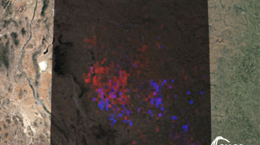
 A system proposed by researchers at the University of California, Santa Barbara, uses hyperspectral imaging and machine learning to detect the specific wavelength of methane emissions.
 -
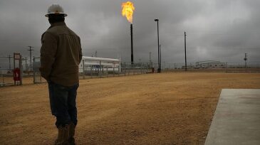
The largest oil and gas major in the US is calling for tighter rules around methane monitoring, wellhead venting, and the replacement of equipment components with “high-leak potential.”
-
GHGSat announced a new service for visualizing greenhouse-gas emissions. The interactive online resource will be freely available and will be formally launched during COP26 in November.
-
As The Environmental Partnership celebrates its second anniversary, the coalition of oil and natural gas companies has grown 150% to 70 members while continuing efforts to reduce emissions from natural gas production.
-
Methane emissions from California garbage dumps far surpass emissions from oil fields, according to a NASA survey.
-
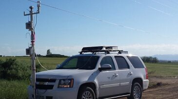
The Environmental Defense Fund said it is overseeing a year-long program to monitor methane released across the Permian. The project will start measuring emissions in November using towers and mobile readings and will begin publishing data early next year.
-
Large-scale investment in carbon capture and methane-emission reduction tops the agenda of the Oil and Gas Carbon Initiative, an organization led by chief executives of several major oil and gas companies.
-
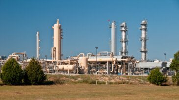
BP announced that it will deploy continuous measurement of methane emissions in its future BP-operated oil and gas processing projects as part of its ambitious program to detect, measure, and reduce methane emissions.
-
Mobile plume tracking, led by Colorado State University air pollution experts, is a key technology in the city of Broomfield’s ongoing Air Quality Testing Program. And it’s just one aspect of a 3-year, $1.7 million contract awarded by Broomfield last year.
-
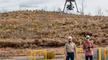
The pilot used sensor technology originally deployed by NASA for the Mars Curiosity Rover to collect methane emissions data live-streamed from a drone. BP said it plans to deploy the technology to all of its North Sea assets, including ETAP and Glen Lyon, in 2020.