Cenovus Energy and Bridger Photonics this week highlighted their use of an emergent airborne-based methane monitoring technology that has helped “make sizable reductions” in the oil and gas company’s emissions.
The nod of approval comes nearly 2 years after the Calgary-based operator first partnered with the US-based technology developer in a pilot project to identify methane emissions across its conventional oil and gas production sites.
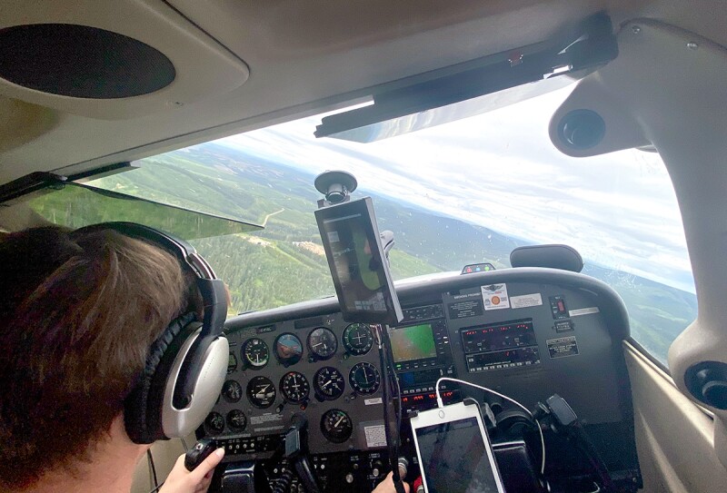
Bridger Photonics specializes in the use of light detection and ranging (LiDAR) sensors that are mounted on small aircraft to generate 3D maps of oil and gas fields. These maps are used to pinpoint the leaks and to quantify the methane concentrations found above the surface.
Cenovus turned to the LiDAR technology as part of a voluntary program overseen by the Alberta Energy Regulator called the Alternative Fugitive Emissions Management Program, or Alt-FEMP.
Cenovus and Bridger Photonics did not share details on the volume of reductions achieved thanks to the Alt-FEMP pilot. But in regulatory filings, Cenovus said the approach should result in about 200 MMcf fewer annual methane emissions—fugitive and vented—compared with Alberta’s default regulatory approach.
“Using the Gas Mapping LiDAR technology to identify methane emissions has enabled us to make sizable reductions. However, we still have more work ahead of us as we take meaningful action to reduce our overall greenhouse-gas emissions,” said Sean Hieber, emissions management engineer for Cenovus, in a statement on the partnership.
Cenovus, which is aiming to achieve net-zero greenhouse-gas emissions by 2050, has previously pointed out that traditional regulatory programs on methane monitoring require ground-based surveys. Though effective, the operator cites the ground-based methods as more costly and time-consuming than aerial surveys which enable far more sites to be assessed over the same period of time.
With multiple aerial surveys performed each year, one of the program's priorities has been to use the data to identify Cenovus' top 10% emitting locations and quickly follow up with site-specific emission reduction action plans.
In its latest sustainability report from March, the Albertan operator lists the LiDAR pilot as a successful component of its wider program that reduced methane emissions in 2021 by 520,000 metric tons compared with 2020 levels. Cenovus and Bridger Photonics will complete the final round of their 2-year pilot in December.
Bridger Photonics has worked for several other North American operators including large US shale producers Devon Energy and Chesapeake Energy. Last year, ExxonMobil received the first-ever approval from the US Environmental Protection Agency to use Bridger Photonics’ LiDAR techniques in lieu of using ground crews to inspect its onshore facilities by hand to identify methane leaks.