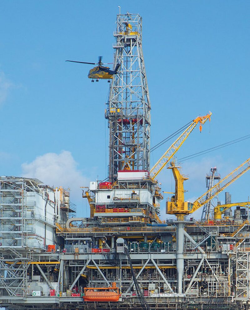
The Mad Dog field was a major discovery for BP in the late 1990s, but developing it looked like a high-risk proposition.
The problem was the field was an early discovery beneath the thick layer of salt covering much of the deepwater US Gulf of Mexico. Shooting seismic through the salt resulted in murky images that increased the risk of development wells that produced little or nothing, which could turn a 4-billion-bbl field into a marginal investment.
BP needed to solve the problem because it had leased a large number of deepwater blocks where the industry was drilling a growing number of dry holes due to poor subsurface imaging. “It was pretty common knowledge in the industry that you have this problem. But what are you going to do about it?” said John Etgen, a distinguished advisor in seismic imaging at BP. The problem is salt distorts sound waves as they travel down and are reflected back up. The salt is like broken eyeglasses. It acts as “big, very complex lens distorting the sound waves.”
At the time, offshore seismic survey designs were generally similar. A seismic survey vessel equipped with an air gun array would emit loud sounds that reflect off boundaries between layers underground and then be recorded by rows of hydrophones on long streamers pulled behind the boat. The boat followed a back-and-forth pattern like a farmer plowing a field.
A major flaw in the method was that the sound waves scattered by salt spread out over a far larger area than was covered by the standard survey.
“The problem was our recording instruments were sitting on a patch of ocean that was only 500 m wide and 6 to 8 km long,” Etgen said. While that sounds like a large area, it was small compared with the broad area required to record the scattered reflections. As a result, “you miss most of your signal,” he said. To test this insight, computer simulations were used to quantify the severity of the problem.
“We found even with the best algorithms—and we were getting pretty good at that—if you didn’t collect enough of the emerging wave field that was reflected off the subsurface formations of interest, you were doomed. It didn’t matter how big your computer was. It didn’t matter how fast your computer was. It didn’t matter how clever your mathematicians were. You were not going to image those formations well enough,” he said.
The solution was to look at the structure from different angles by separating the sound source from the receivers and moving it several times while gathering far more data. The survey proceeded in four stages with a 1-km change in the space between the vessels each time. At each step, the vessels pulling the streamers followed a typical pattern but traced it many more times than usual.
“By today’s standards, what we did was quite simple. We wanted something that was not going to rely on radical new inventions in the acquisition technology on the vessels themselves,” Etgen said.
Etgen said this approach has improved seismic imaging in three ways:
- It made it possible to look underneath and around the salt bodies as if “you were looking under a table.”
- The repeated passes gathered much more data per square mile, improving signal/noise ratio for better image quality.
- Gathering data over a wider area made it possible to remove false images caused by sound waves that “rattle around the Earth and reflect off the surface of the ocean.”
On the financial side, it looked risky. BP paid the USD 50 million cost of the survey rather than sharing that cost with its partners. While normally BP would not have done that, Etgen said “we just knew that a positive outcome would have significant competitive advantage and didn’t want to tip off industry too early.”
When the results were presented, the reaction from those partners was “this is the way to do it,” Etgen said. The Mad Dog success had a broad impact, with spending for wide-azimuth surveys rising from USD 50 million in 2004, the year of BP’s Mad Dog survey, to USD 500 million in 2008.
Wide-azimuth surveys have evolved since then. The changes play off the name azimuth, which is the 360° coordinate system used to locate stars in the sky. Survey boats follow varying patterns running in different directions and even circles with multiple boats and sound sources.
What was done at Mad Dog is now used to deal with a variety of seismic problems. “We turned what had been an intractable problem into one where we were in a lot better shape,” Etgen said.


