Emission management

Winners of Alberta's Drilling Technology Challenge cover a range of technologies from robotics to enhance drilling rig safety to AI-enabled energy management, downhole sensing, well navigation, hybrid power systems, and geothermal energy.

EQT is benchmarking its way to basin-leading productivity and relying on partnerships and new technology to turn KPIs into operational reality.

This article from the SPE Sustainable Development Technical Section (SDTS) explores how the next phase of methane performance will be defined less by pledges and more by measurement, response, and verifiable results.
-
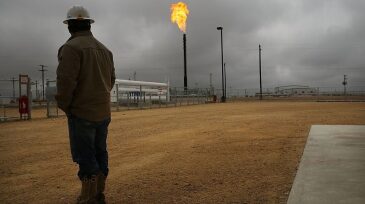
 New Mexico released data on excess greenhouse emissions from oil and gas operations to keep the public informed of the problem, as the state continues to develop stricter policies to regulate air pollution from the industry and other sources.
 -
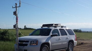
The Environmental Defense Fund said it is overseeing a year-long program to monitor methane released across the Permian. The project will start measuring emissions in November using towers and mobile readings and will begin publishing data early next year.
-
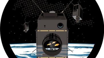
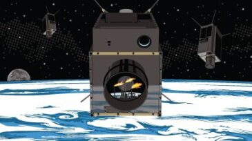
The signed framework agreement would have GHGSat use its satellite-based sensors to monitor greenhouse gases coming from select Shell facilities.
-
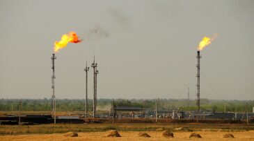
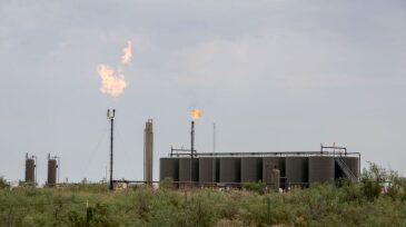
The value of natural gas flared by 80 different nations around the world has increased by 11% to hit a global peak this year of $16.4 billion, according to a new data analysis.
-
BP announced that it will deploy continuous measurement of methane emissions in its future BP-operated oil and gas processing projects as part of its ambitious program to detect, measure, and reduce methane emissions.
-
Mobile plume tracking, led by Colorado State University air pollution experts, is a key technology in the city of Broomfield’s ongoing Air Quality Testing Program. And it’s just one aspect of a 3-year, $1.7 million contract awarded by Broomfield last year.
-
The pilot used sensor technology originally deployed by NASA for the Mars Curiosity Rover to collect methane emissions data live-streamed from a drone. BP said it plans to deploy the technology to all of its North Sea assets, including ETAP and Glen Lyon, in 2020.
-
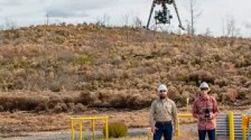
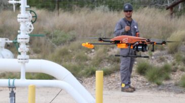
Equinor Technology Ventures and OGCI Climate Investments have agreed to back the tech developer, which integrates its SeekIR miniature gas sensors onto drones to detect, localize, and quantify carbon emissions.
-
New Mexico’s Lujan Grisham pushes an ambitious pro-environment agenda for an industry whose receipts dominate the state budget.
-
The 33-month project will compare emissions data collected by terrestrial sensors to GHGSat's combined satellite and aircraft measurements.