
Reservoir characterization

This paper presents a case study from a mature field redevelopment project where pulsed neutron logging was integrated with advanced reservoir modeling to improve the understanding of fluid-contact dynamics and optimize new horizontal well placement.

This paper aims to showcase examples of how integrated analysis of surveillance data in the Azeri-Chirag-Gunashli field has improved reservoir understanding and informed reservoir-management decisions.

This paper presents an experiment investigating dissolution of basaltic primary minerals and conditions favorable for secondary phase formation under deep subsurface storage conditions.
-
 Earthquake in Cushing, OK -- home to the largest oil storage facility in the world -- leads to further regulatory action on disposal wells in the area.
 -
Understanding petrophysical properties well enough to make drilling decisions, particularly for tight gas can be a challenge. A new computer system aims to help analyze the extensive data involved.
-
Partitioning interwell tracer tests (PITTs) have been used to estimate remaining oil saturations (ROSs) during waterflooding.
-
In this study, the authors demonstrate a reliable, cost-effective methodology that empowers shale operators with reservoir data on every well.
-
Researchers at Heriot-Watt University in Edinburgh, Scotland, are building replica core samples using 3D printers and installing sensors inside them as they go. Their goal is to directly monitor pore-scale flow behavior from the inside of these so-called “smart rocks.”
-
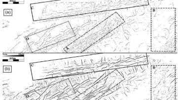
The tedium of identifying small faults in often murky seismic images pushed Dustin Dewett, an associate geophysicist for BHP Billiton, to develop a better way to use the tools at hand.
-
In this study, samples of flowback water and downhole shales are analyzed to investigate the mechanisms controlling the chemistry of flowback water.
-
Research and development firm Battelle is working on a new induced-seismicity study that aims to help wastewater disposal well operators in Ohio stay on the good side of state regulators.
-
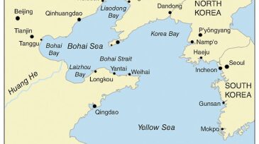
A new multilayer boundary‑detection service has been introduced to resolve the geological uncertainty associated with horizontal wells in Bohai Bay. Geosteering and real time reservoir characterization were used to reduce the uncertainty.
-
Saturation-height functions (SHFs) play a key role in reservoir description and in quantifying oil in place. The functions must compare well with other sources of water saturation (Sw), such as core measurements and well-log interpretations. This study reconciles different sources of Sw.