Robotics/unmanned systems

Autonomous drilling through managed pressure drilling (MPD) at the Atlantis field has given the operator confidence to scale the method.
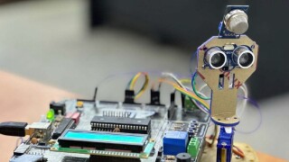
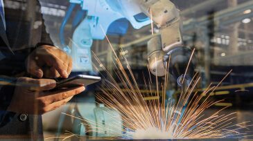
This paper presents a robot integrated with a microcontroller that provides multiple functions to help with data logging, analysis, and reporting to identify hazards and improve safety protocols.

With the right infrastructure and interoperability, subsea resident robotics could unlock more frequent, cost-effective inspections—and a new standard for offshore efficiency.
-
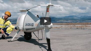
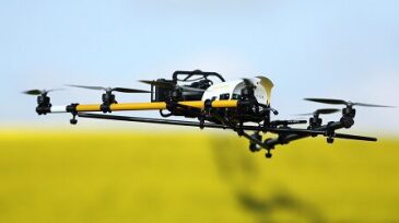
 Equinor said drones could reinforce safety, boost production efficiency and contribute to lower CO2 emissions from Norwegian oil and gas
 -
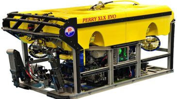
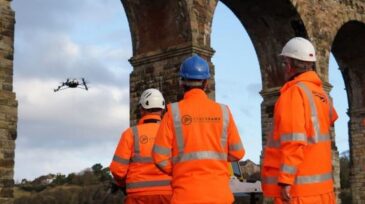
The 3-year contracts were awarded to Solstad, OceanPact, and Fugro.
-
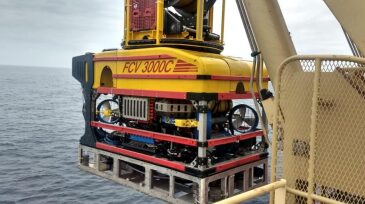
The fully remote inspection was conducted with an ROV to increase worker safety and security and reduce environmental exposure on an offshore platform.
-
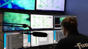
Development in software, technology, and a global 4G network combine to make ROV operations possible between offshore vessels and remote locations.
-
The partnership will deliver autonomous robots for safe work in adverse land, sea, and downhole environments.
-
With their gee-whiz—albeit artificial—intelligence, robots may be the industry’s answer to jobs deemed dangerous, dirty, distant, or dull.
-
iHawk, Cyberhawk’s cloud-based asset visualization software, will become Shell’s next-generation visualization software platform for all onshore, offshore, and subsea assets, as well as all global construction projects.
-
The contract continues the two companies’ 8-year working relationship; in 2012, they performed the world’s-first underdeck inspection.
-
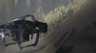
A recent test proved the feasibility of using LiDAR on remote-controlled drones to create 3D maps of the inside of tanks, increasing the safety and efficiency of inspections.
-
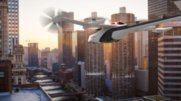
The aerospace giant is launching a new business unit to cash in on the autonomous aviation market. It will act as a systems integrator for all Honeywell products and services that could be used in this industry.